Canoeing.com
Algonquin Provincial Park Canoe Routes Planning Map
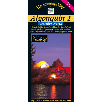
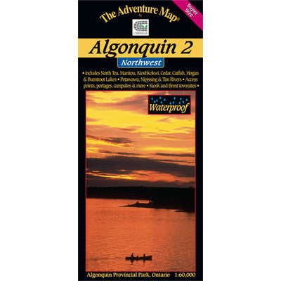
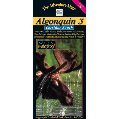
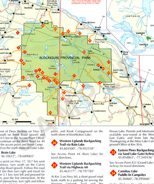
This map is the perfect place to start planning a canoe trip in Ontario’s oldest Provincial Park. Located on the southeastern edge of the Canadian Shield between Georgian Bay and the Ottawa River, the 7,630 square kilometers of Algonquin Provincial Park is one of the world’s most famous canoe areas. The Park is a unique, vast, interconnected, 2,000-kilometer canoe route network. The almost incalculable number of possible canoe trip routes is shown on side one of this map along with the 34 jumping-off points around the periphery of the Park and along Highway 60 which runs through the Park. Each jump-off point is indicated on the map along with detailed ‘how-to-drive-there’ information. Access Point Offices and East and West Gates, where permits and other information can be obtained, are also marked.
Side two of this map provides an illustrated history of the area: the indigenous people, the evolution to modern times and use, the geology, wildlife, fish and vegetation. Included is information and tips for planning a trip, Regulations, Reservation Services and more. In addition, 17 regional Outfitters are also listed along with contact information. Paper; non-waterproof.