National Geographic Maps
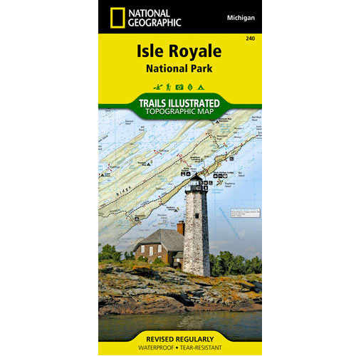
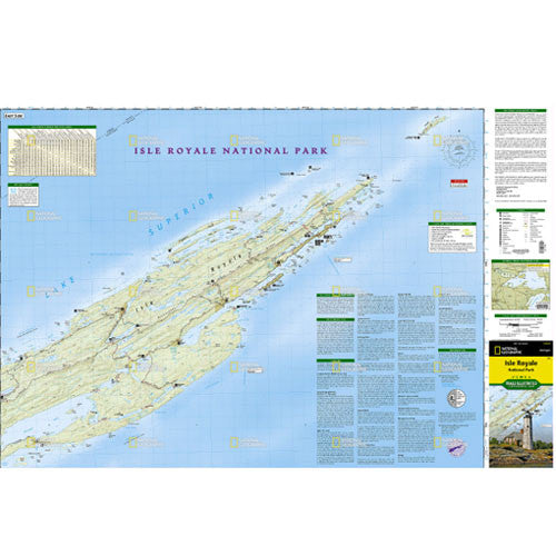
Isle Royale National Park Map
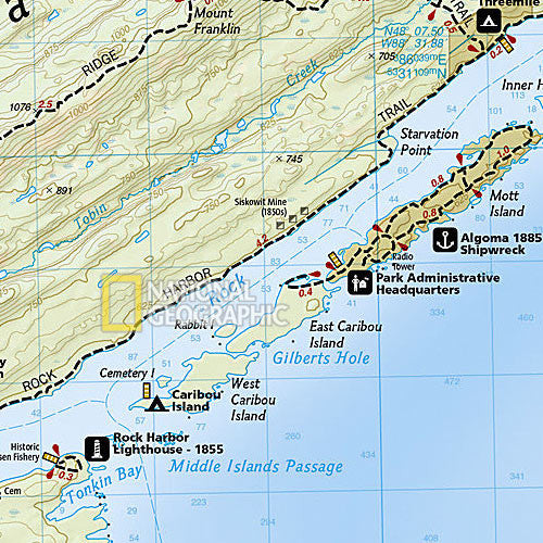
A rugged and isolated island on Lake Superior, Isle Royale offers unparalleled opportunities for hiking, backpacking, boating, paddling, and scuba diving in solitude, far from the sights and sounds of civilization. National Geographic’s Trails Illustrated map of Isle Royale National Park delivers unmatched detail and valuable information to assist you in your exploration of this remote wilderness. Created in partnership with local land management agencies, this expertly researched map features key areas of interest including Passage Island, Rock Harbor, Windigo, and many shipwreck sites. Whether day hiking or backpacking to remote campsites, the map’s clearly marked trails with mileage between intersections will help you choose the route that’s right for you. The map base includes contour lines and elevations for summits and lakes, as well as soundings of Lake Superior. Boaters will appreciate the handy water mileage chart. Recreation features are clearly marked, including campgrounds, interpretive trails, lighthouses, lookout towers, ferry routes, docks, and seaplane anchorages. A variety of helpful information about camping, fishing, and boating in the region is included as well.
Waterproof • Tear-Resistant • Topographic Map
Every Trails Illustrated map is printed on "Backcountry Tough" waterproof, tear-resistant paper. A full UTM grid is printed on the map to aid with GPS navigation. Other features found on this map include: Blake Point, Cumberland Point, Feldtmann Ridge, Isle Royale, Siskiwit Bay, Sugar Mountain.
| Folded Size | 4.25" x 9.25" |
|---|---|
| Flat Size | 37.75" x 25.5" |
| Scale | 1:50,000 |
| Copyright Date | 2006 |
| ISBN | 9781566953672 |