Chrismar Maps
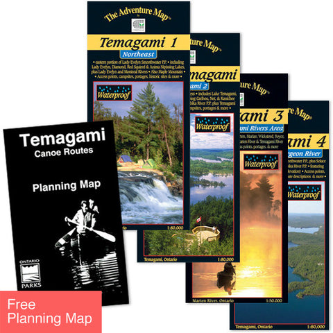
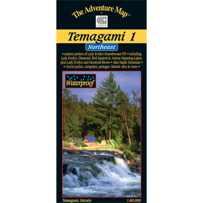
Temagami 1 Northeast Map
One of the world's great paddling areas, Temagami provides thousands of lakes and rivers among the rocky forested hills of northern Ontario. Our map covers the Northeast quadrant of the main region, and is bounded by Maple Mountain to the west, Latchford and Hwy 11 to the east, Wakimika Lake, Sandy Inlet and Red Squirrel Road to the south and the Spray Creek/Big Spring Lake/Montreal River junction to the north. In addition to the extraordinary contour, vegetation and water detail on this map we've also included most of the formerly official campsites, portages, public hiking trails and access points, as well as historical features, primary fish species by lake, lake elevations, access roads, island numbers and much, much more. Similar in character to our very popular Algonquin series, this map, at 1:80,000 scale, and 24x25", with a contour interval of 20m, has considerably more detail than government topos or any other map of the area. As usual the reverse of the map is covered with text and lovely color photos about natural and human history, suggested routes, safety tips, contact information including local outfitters, and much more. Waterproof.
Temagami 1 - Northeast - ISBN: 0-929140-77-X
Order all four Temagami maps as a set and a Canoe Routes Planning Map is Free! >
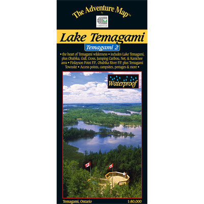
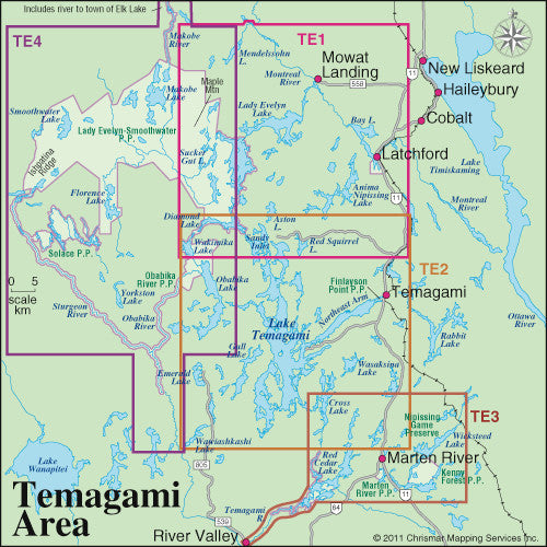
This map overlaps with our popular Temagami 2-Lake Temagami, and Temagami 4- Northwest & Sturgeon River map guides. You can see how they all relate to each other using the Map Locator Guide shown at right.