Chrismar Maps
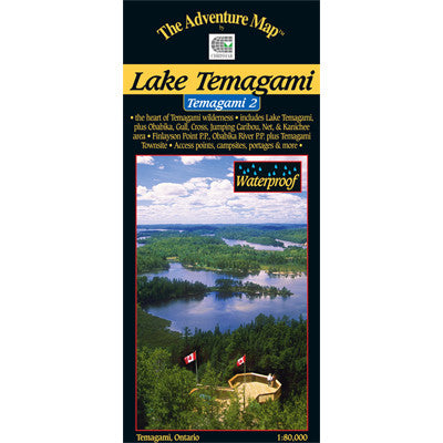
Temagami 2 Lake Temagami Map
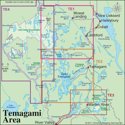
This map shows the heart of Temagami - the octopus-like lake that has become one of Ontario's most popular tourist destinations. Not only is this a superb paddling and hiking destination, but also a land of a thousand windblown islands, vast forests featuring stands of impressive old-growth red and white pine, fish worthy of great stories, and picturesque water's edge cottages. The Lake Temagami map includes the area from Obabika Lake to the west, Diamond Lake to the north, the village of Temagami, White Bear Forest and Cassels Lake to the east, and Wawiashkashi Lake, the edge of the Sturgeon River and Marion Lake to the south.
At 1:80,000 scale this map shows more detail than government topos including campsites, portages, historic features, fish species and the incredibly detailed land and waterscape you've come to expect from The Adventure Map™. The back side is covered with color photos and text detailing the natural and human history of the area along with suggested routes, safety tips, contact info and much more. This one has quickly become the standard for on-the-water navigation. Though it covers the area of several government topos and has considerably more detail, this single map is only a third of the cost. Waterproof.
Temagami 2 - Northeast - ISBN: 0-929140-78-8
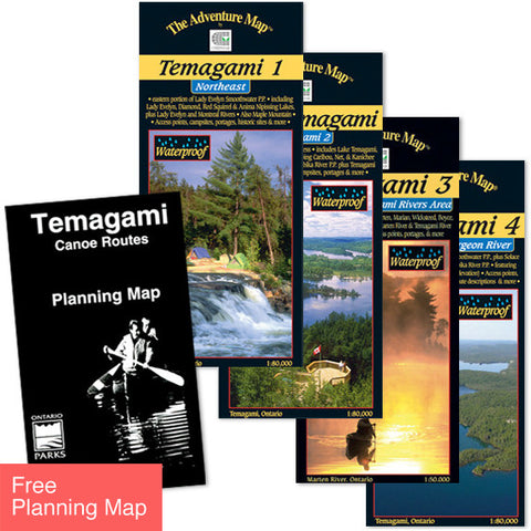
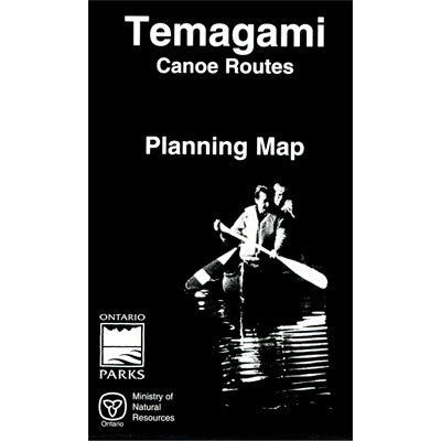
Order all four Temagami maps as a set and a Canoe Routes Planning Map is Free! >
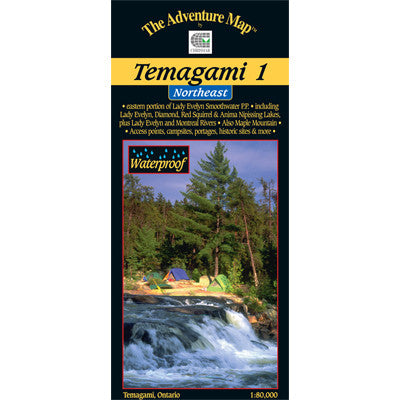
Other guides in our Temagami series include Temagami 1-Northwest which overlaps the top edge of this map, Temagami 3-Marten/Temagami River Area which overlaps the bottom right edge, and Temagami 4-Northwest & Sturgeon River, which overlaps the west edge of this map. See the Map Locator Guide shown above.