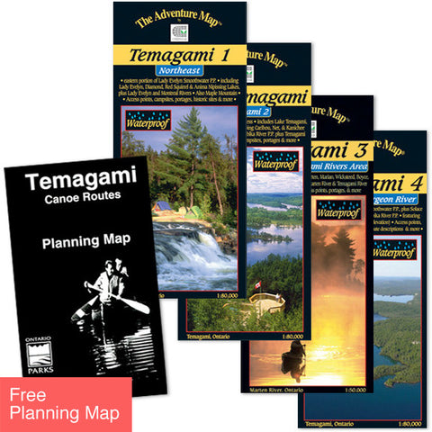
Ontario Parks
Temagami Canoe Routes Planning Map
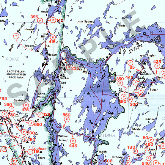
This map is the perfect place to start planning a canoe trip in the Temagami Area of Northeastern Ontario. The map features 23 different canoe routes ranging from 2-day to 2-week canoe trips. Side one shows the connecting lakes, rivers and streams and the route options. A legend is provided with symbols indicating the routes, rapids, portages, campsites, roads and other important features. Side two provides specific information on each of the twenty-three routes: the access road(s), degree of difficulty, distance in kilometers and miles, portages (number/distance), game fish and notes with antidotal information. There is addition information on the eight Provincial Parks within the Temagami Area.
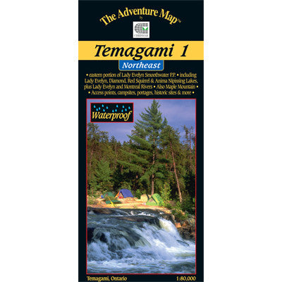
With Lake Temagami at its heart this area is truly Canada's great Northland, with old growth pine forests; smooth blue waters, bountiful fish and wildlife. This area offers a wide range of recreational opportunities and protection for many significant natural and cultural features, including the canoe routes. Steeped in history, some of the world's oldest rock scraped and smoothed by centuries of glaciation, artifacts and pictographs dating as far back as 6000 B.C. have all been discovered. The Temagami region is know as n’Daki Menan, the homeland of the area’s First Nations Anishnaabe people. Grey Owl, the mysterious naturalist who captured the world's imagination in the 1930s, has become a part of the Temagami landscape. Over the centuries, people have been drawn to the area as if by a magnet. Temagami is truly a place of mystical magic, an adventurer's mecca.Temagami has been a renowned center for outdoors and wilderness recreation for over 100 years. Paper; non-waterproof.
This Map is FREE with the purchase of the Temagami Map Set >