Friends of Wabakimi
Wabakimi Canoe Route Map Set
Five Volumes (116 detailed maps) and includes the Historic Wabakimi Canoe Routes Planning Map
Free Shipping!
Designed to be taken into the field to complement the use of 1:50,000 NTS topographical maps and used with the 36” x 35” full-color Historic Wabakimi Canoe Routes map. The five-volume set includes 116 canoe route maps bound in five separate booklets (volumes) according to their location in specific watersheds as depicted on the Booklet Coverage Area Map (see detail).
Each of the five map set books (volumes) is assigned a descriptive title that indicates the extent of coverage, and contains a table of contents (list of canoe route maps) and an overview coverage map showing the specific routes included. Printed in full color on high quality 8.5" x 11.0" paper and bound to allow for removal and use of separate maps.
5-volume set — 116 maps
- Campsites and portages are shown on each canoe route.
- Portage lengths are accurately measured and expressed in meters; compatible with topo maps.
- Outpost camps and lodges where emergency assistance may be obtained are included.
- All maps are uniform in scale and each overlaps adjoining map for seamless route coverage.
- Enlargement circles provide magnified details of portages as well as hazards or obstacles such as swifts, rapids and waterfalls.
Included with the five-volumes is the Historic Wabakimi Canoe Routes Planning Map. A 36x35” map printed in full-color on 24# paper and folded down to fit most waterproof map cases.
Ships directly from Friends of Wabakimi. All maps sales support the Friends of Wabakimi canoe route and conservation efforts.
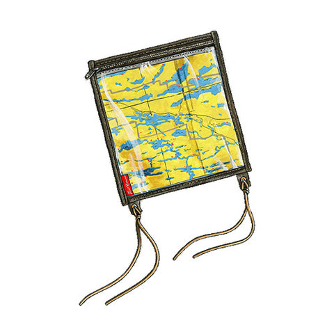
Paper / Non-waterproof (8.5 x11.0" and 36x35")
Ships directly from Friends of the Wabakimi. All maps sales support the Friends of Wabakimi canoe route and conservation efforts.
Canoeing.com note: The Historic Wabakimi Canoe Routes planning map is great for overview of potential routes in Wabakimi Provincial Park and connecting Crown Lands. And the information found in the five-volume set of maps is invaluable for final stage planning of a wilderness canoe route in the Wabakimi Area. The set of maps will save you both time and money in realizing your travel plans in this remote area of Canada and more importantly will help you best prepare for the challenges paddling the white-water rivers, and flat water lakes found throughout the Wabakimi. Actual navigation on your trip is best done with the detailed maps from the five-volume route maps series combined with 1:50,000 topographic maps.
All canoe routes were mapped, explored, and portage trails improved by Phil Cotton and The Wabakimi Project’s 244 volunteers between 2004-2018
Shipping and Return Policies >