Chrismar Maps
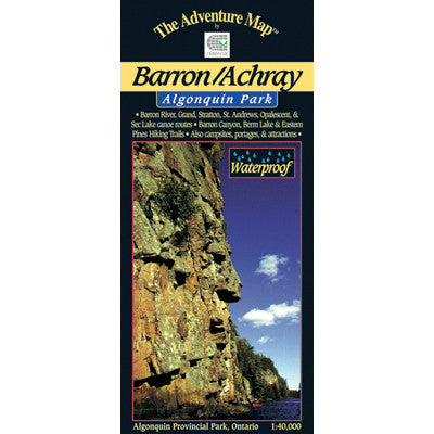
Algonquin Provincial Park 10 Barron/Achray Map
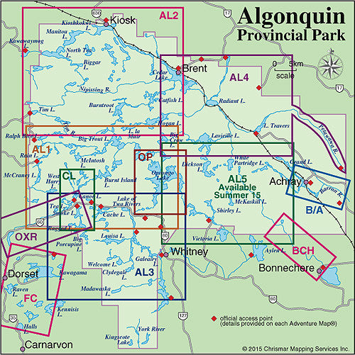
The dominant feature of this popular paddling, hiking and camping area on the east side of Algonquin Park is the 100-metre deep Barron Canyon, which you can enjoy from above at a great viewpoint, or from below while paddling the River. But there are other great attractions in this compact, feature-rich area, including High Falls, Brigham Chutes, the Barron River, old log drive relics and much more, all detailed on our large-scale 1:40,000 map. The back side includes, as always, colour photos of the area and text about local flora and fauna, suggested routes, safety concerns and contact info. Also covers the Sec/Mallard Lakes area. Waterproof.
Algonquin - Barron/Achray - ISBN: 0-929140-15-X
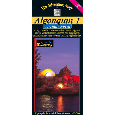
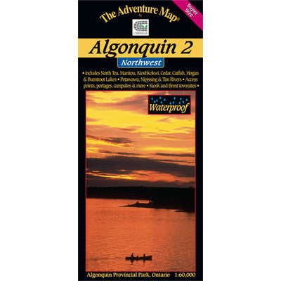
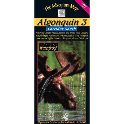
Also consider our other larger scale Algonquin Daytripper Maps of smaller popular areas (Bonnechere River, Opeongo Lake, Oxtongue River and Canoe Lake) suitable for short trips of a week or less. Or try our larger area Algonquin guides (Algonquin 1-Corridor North, Algonquin 2-Northwest, Algonquin 3-Corridor South and Algonquin 4-Central North maps) suitable for longer trips or shorter ones in less busy areas.